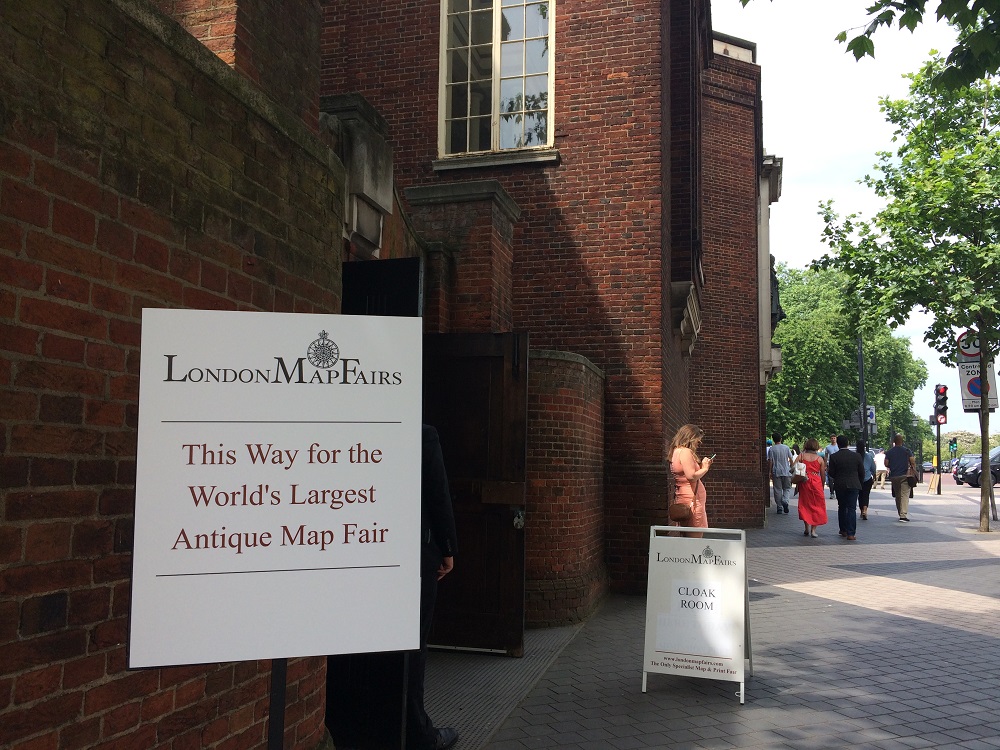
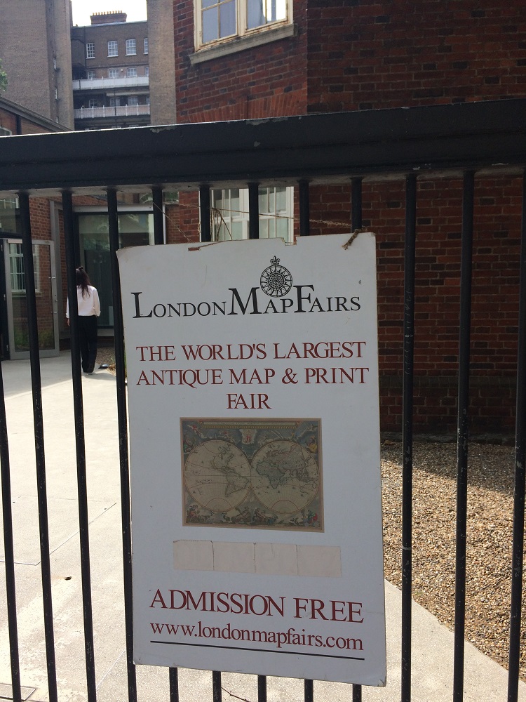
Last Saturday was for the first time I attended the London Map Fairs. Located at the Royal Geographical Society in Kensington, this two days fair is arguably the largest antique map fair (in the world or in the UK? not sure since I have never attended similar fair before).
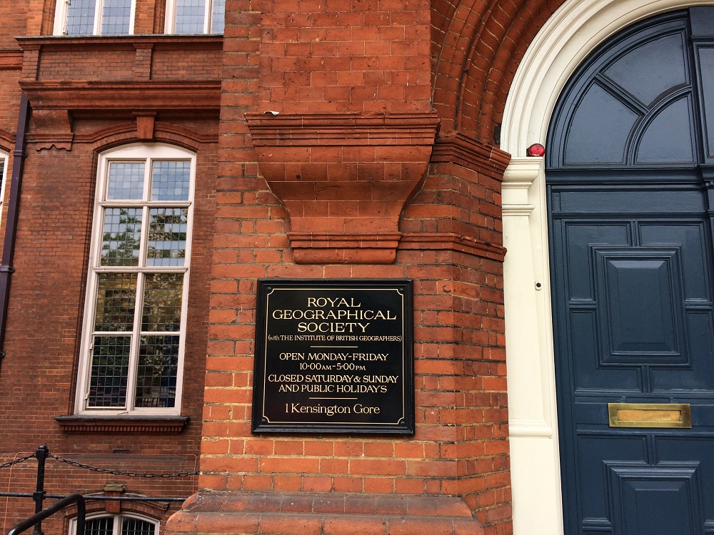
And this is the prestigious Royal Geographical Society where the Fairs is based.
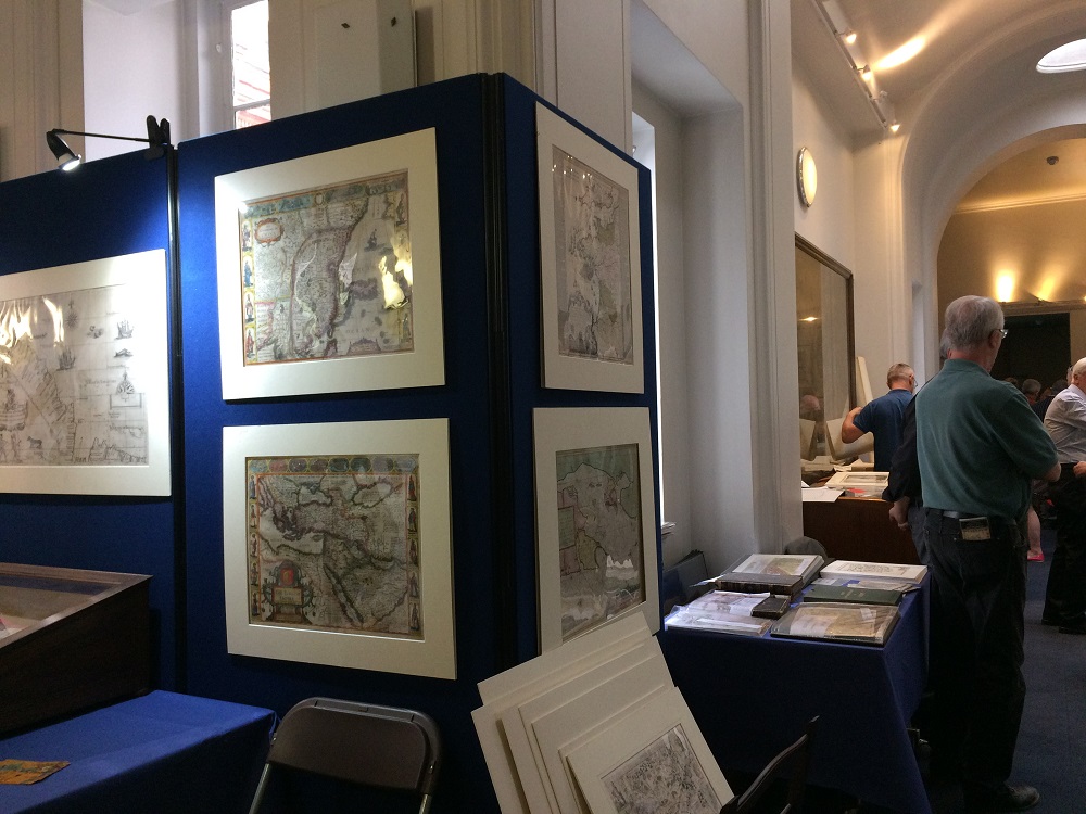
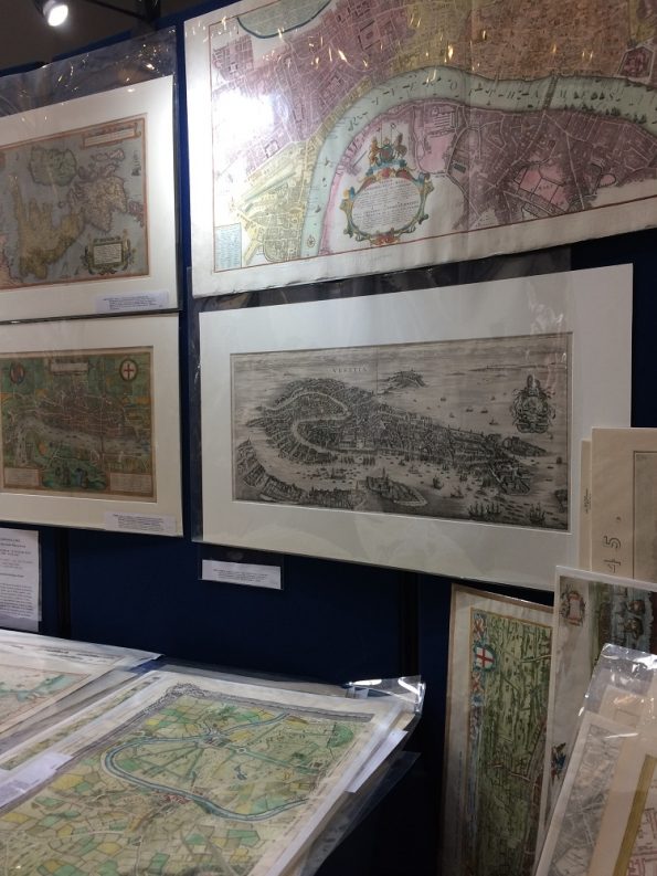
This is one of the first rooms in the Fairs.

I honestly don’t know what to expect at the Fairs. But I am glad that I did visit the Fair! I even treat my husband an Uber trip to come with me to the Fair!
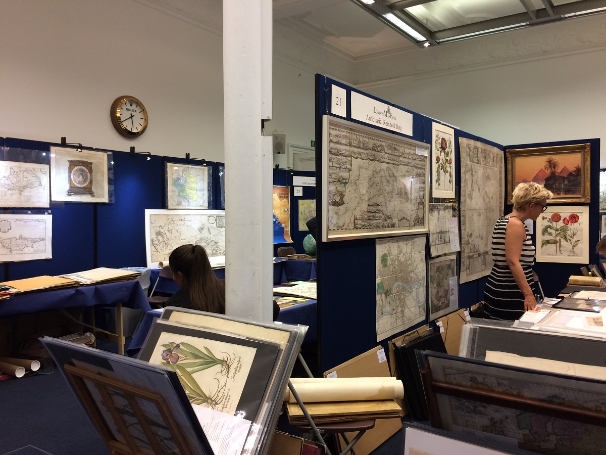
In this Fair, I saw beautiful collection of maps that I have never seen before! That interests me to find out more about collecting antique maps! Some maps are divided into geographical location. So you can see specific map about specific location! That fascinates me more to find out maps from South East Asia!
I finally found a map that describes Batavia. I bought it from the Altea Gallery stall. Here is the map in detail. Click here for more.

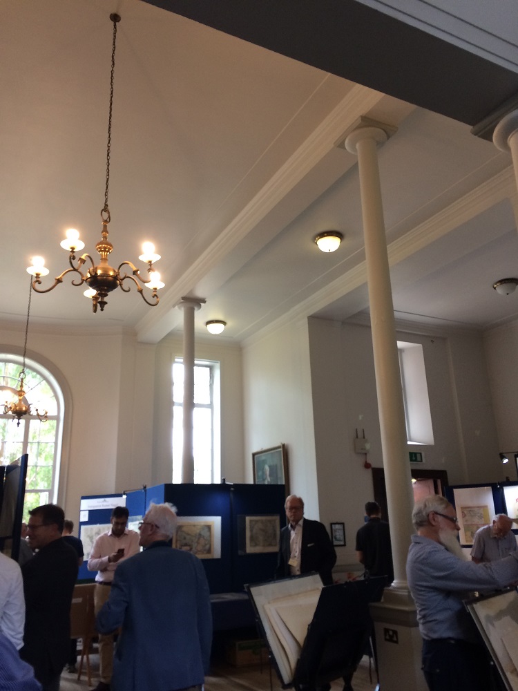
The location at the Royal Geographical Society is quite beautiful and grand. See these high ceilings and pillars below.
The tea room is pretty too. Look at the painting!
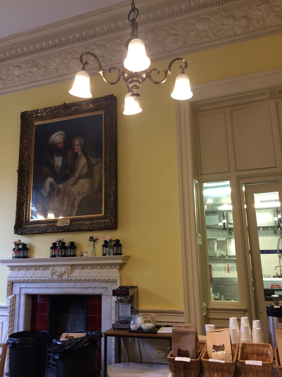
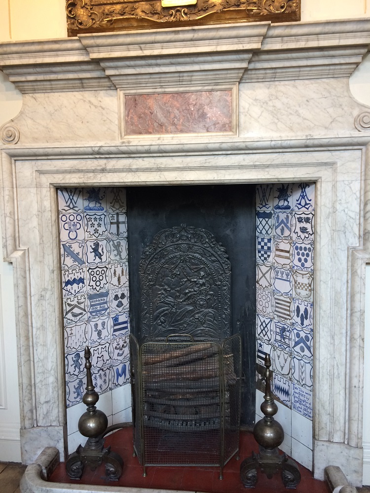
You can see huge fireplaces too.
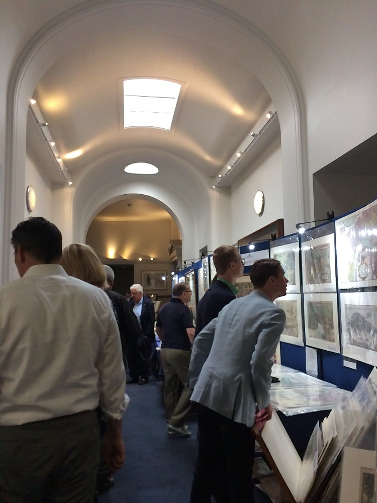
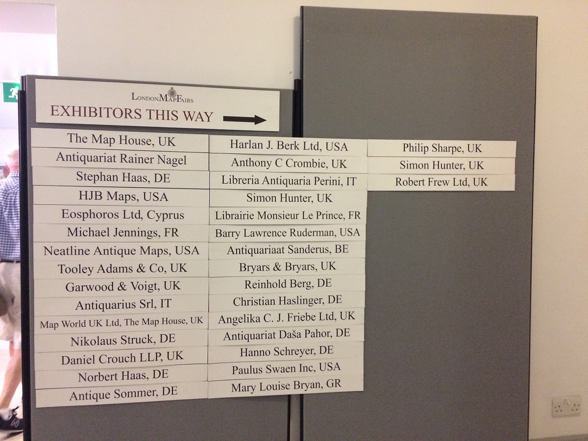
Here are the exhibitors of the London Map Fairs 2018.

Some exhibitors are from Italy, Germany, France, and as far as USA.

Some maps are so very expensive. Sometimes I am afraid to hold it because I know I can’t afford it. I think some dealers are also afraid of me holding the maps because they thought I will tear or break it. Oh well.. Lucky me that I did not break any map.
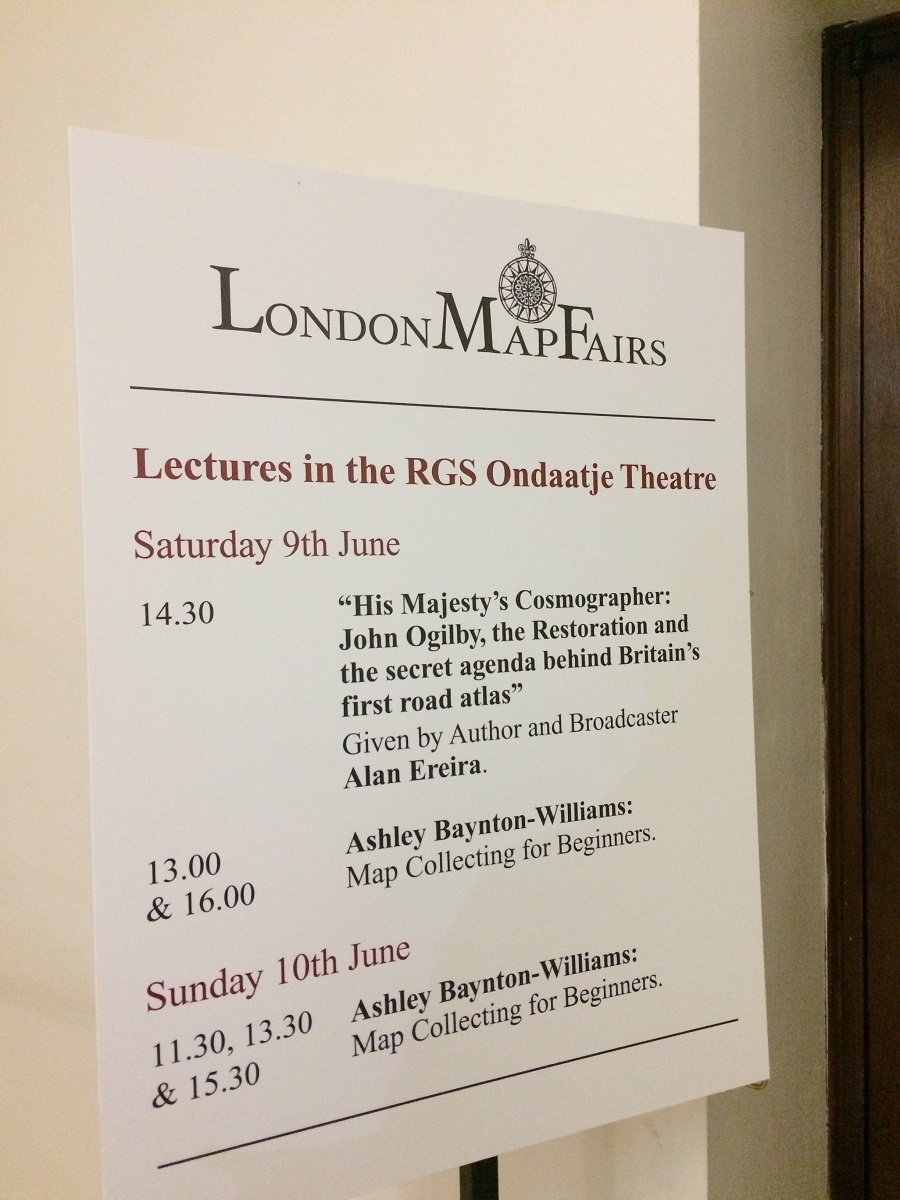
There are also some lectures in this Fair. I did not attend any though.. But they are seem to be interesting talks.
All in all I am so grateful that I attend the London Map Fair. I may explore more about antique maps especially about the South East Asia maps. It is fascinating to learn more about history by looking at the antique maps. Because some of these maps are published in the 16th, 17th, or 18th century, so it would be great to learn what the world/country/city/island looked like at that time, from the point of view of the cartographer. Amazing!
 Users Today : 23
 Users This Month : 977
 Users This Year : 24470
 Total Users : 49771
 Views This Year : 29307
 Total views : 64485
 Who's Online : 0