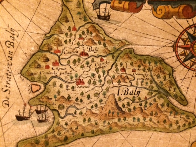
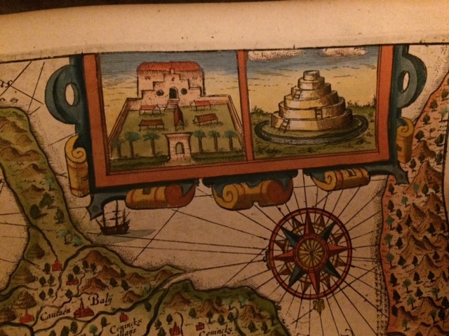
Beautiful and rare map of Bali circa year 1619.
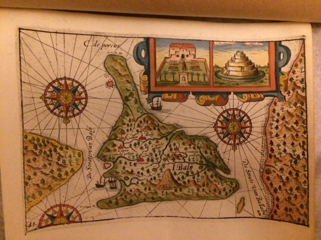
The map is probably by Jacob Le Maire, a Dutch mariner.
Together with Willem Schouten, Jacob Le Maire sailed Eendracht, a ship built by his father Isaac Le Maire.
Jacob Le Maire and Willem Schouten arrived in Northern Moluccas in August 1616, and in Ternate in September 1616, and continued to Java and arrived in Batavia in October 1616.
However, Eendracht was confiscated by JP Coen; and Le Maire and Schouten were arrested and sent back to Amsterdam via Batavia.
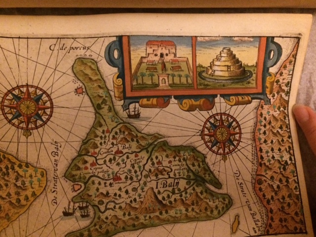
Unfortunately Le Maire died en route to Amsterdam. This map of Bali probably a completion of Le Maire draft taken from his report during this voyage to the Spice Islands. It is published circa year 1619.
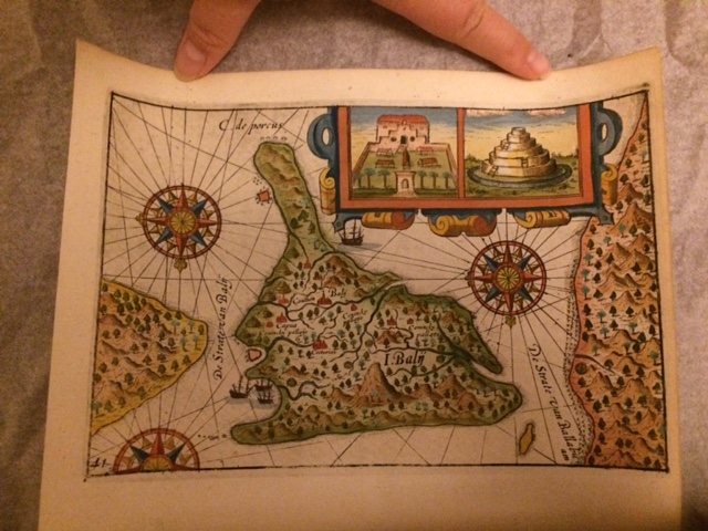
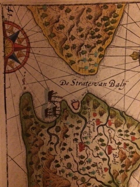
The map is in Dutch language and Bali is written as “Balij”.
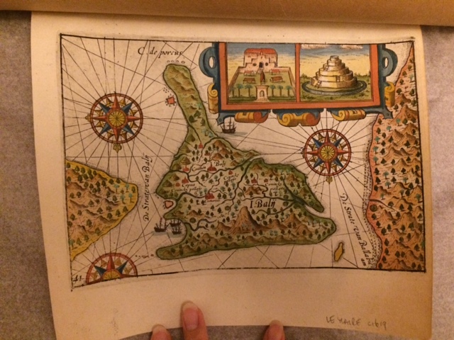
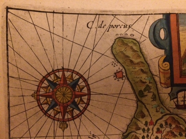
The shape of Bali is also drawn incorrectly as per geographical location. Though the map is beautifully drawn with temples present. The map probably is one of the earliest examples of how Bali is geographically depicted by the western world.
 Users Today : 5
 Users This Month : 1002
 Users This Year : 24495
 Total Users : 49796
 Views This Year : 29345
 Total views : 64523
 Who's Online : 0